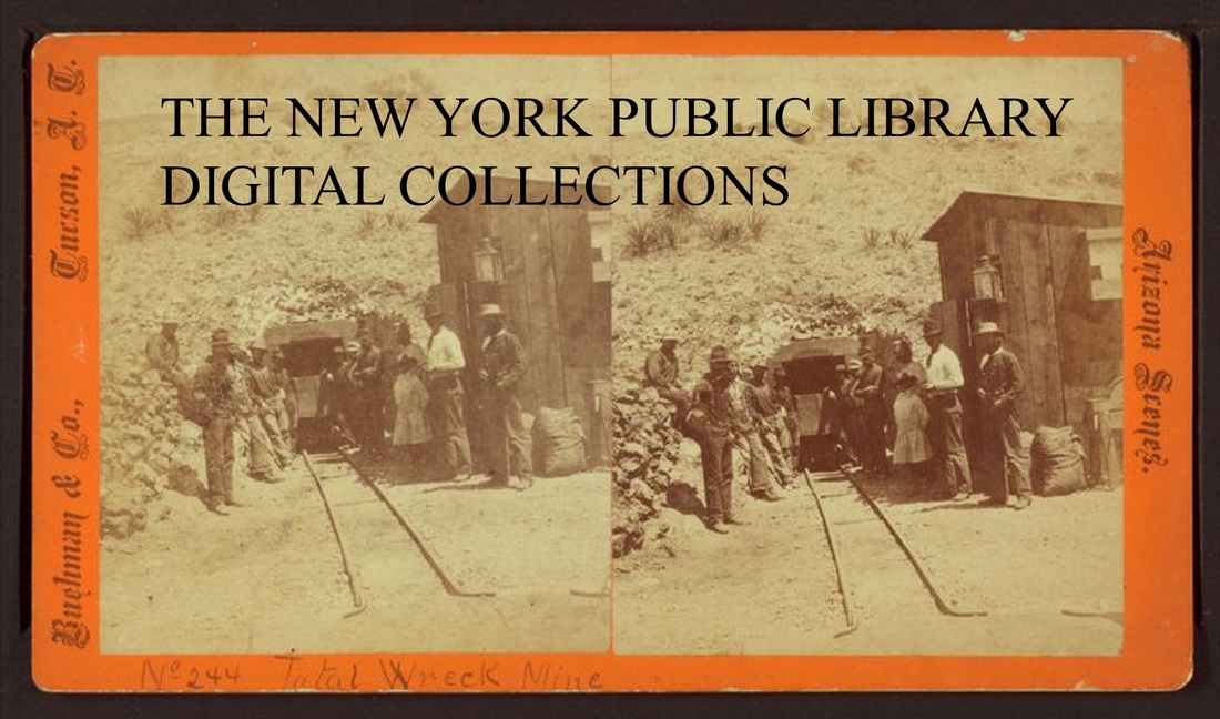
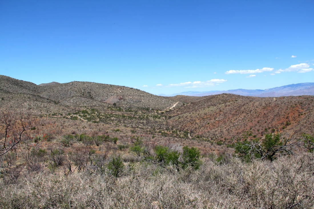
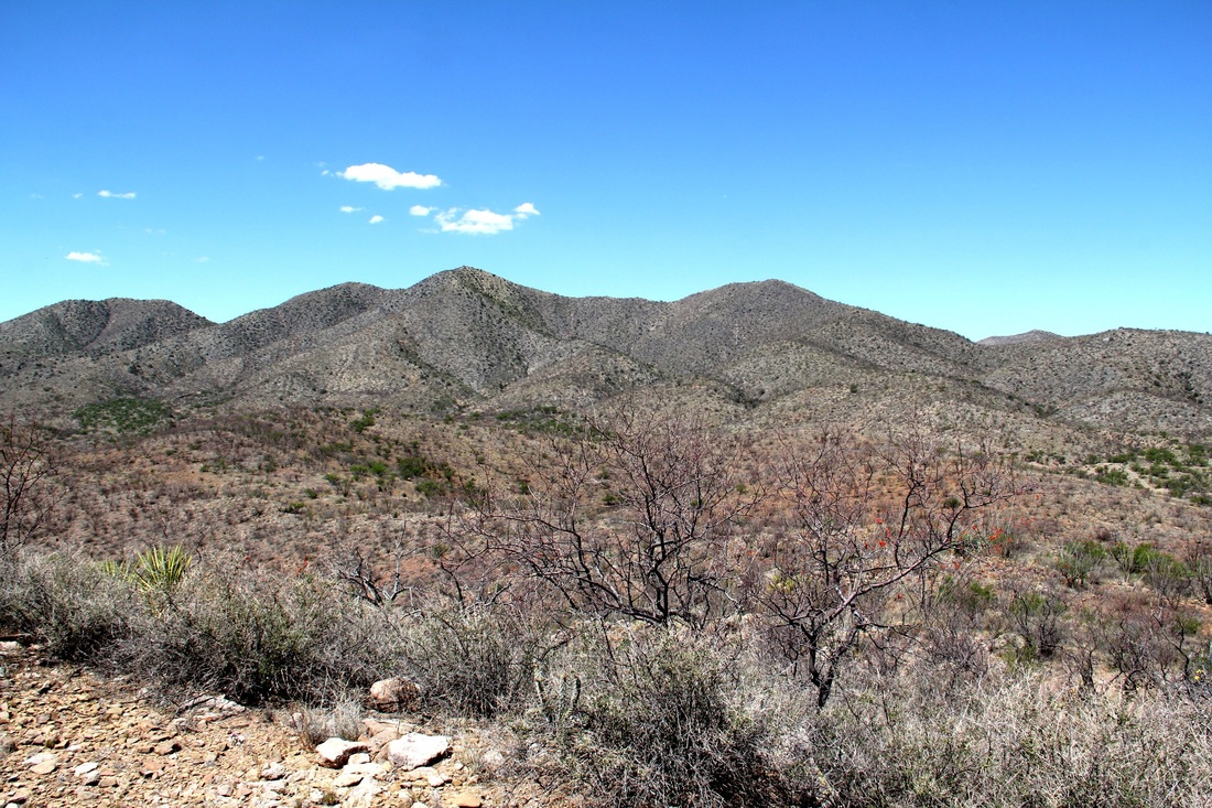
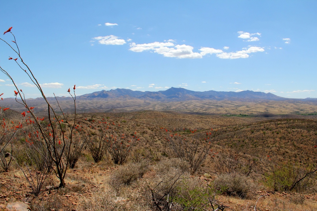
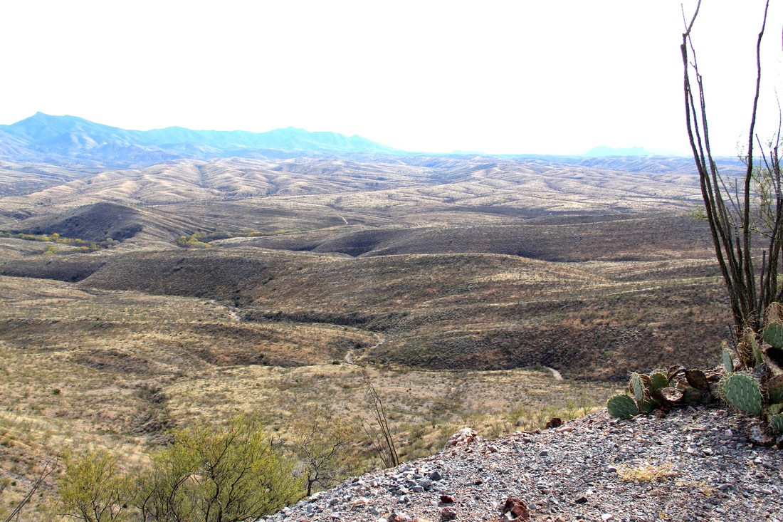
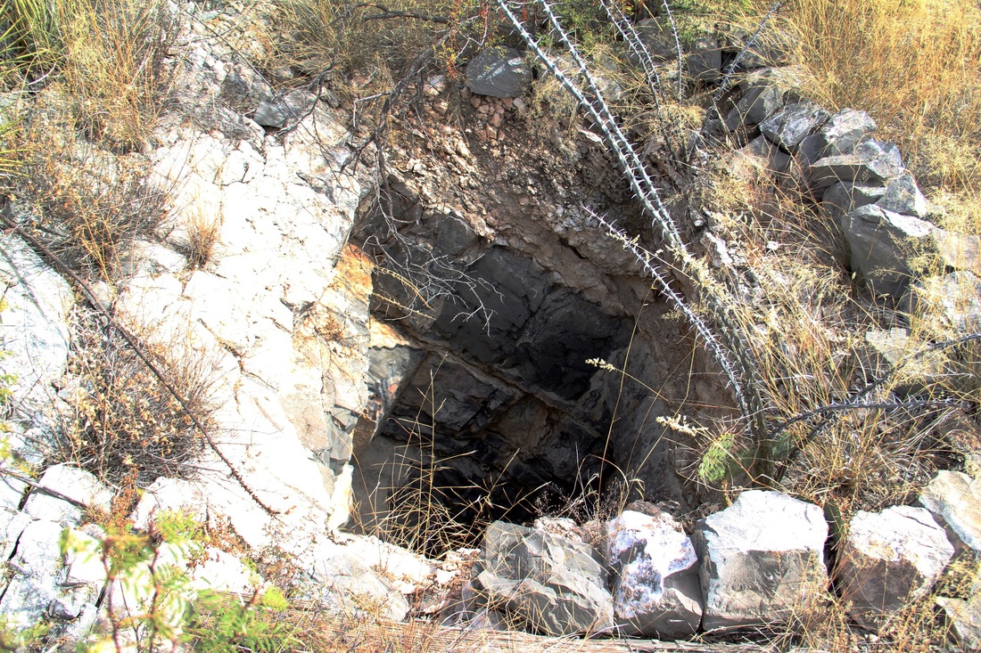
Total Wreck Mine
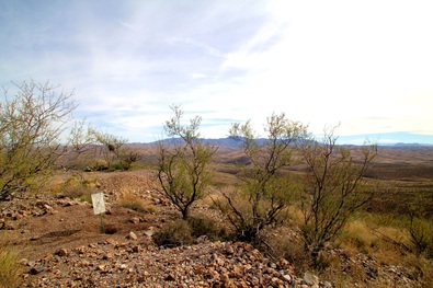
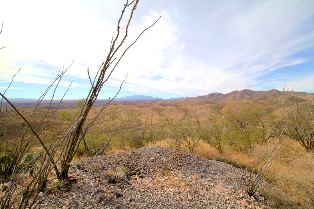
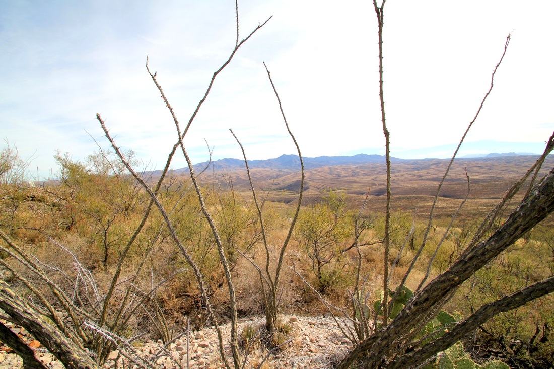
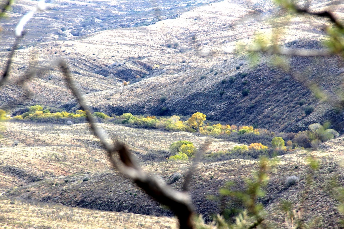
The Little Graveyard, Pump Site on Cienega Creek and Tank Hill
"That's its name, 'Total Wreck,' said my brother."
An early day mine located in Pima County. Ed Vail says: "Mine received its name when John T. Dillon, who discovered it, came to my brother, Walter, in 1881, to get him to make out his recording papers. Walter asked him for a name. Dillon said: 'Well, the mineral foundation is almost a total wreck,' alluding to the mixed formation. "That's its name, 'Total Wreck,' said my brother."
The Post Office was established August 12, 1881. *
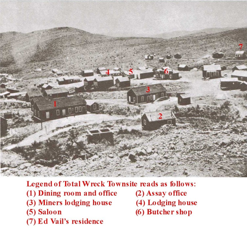
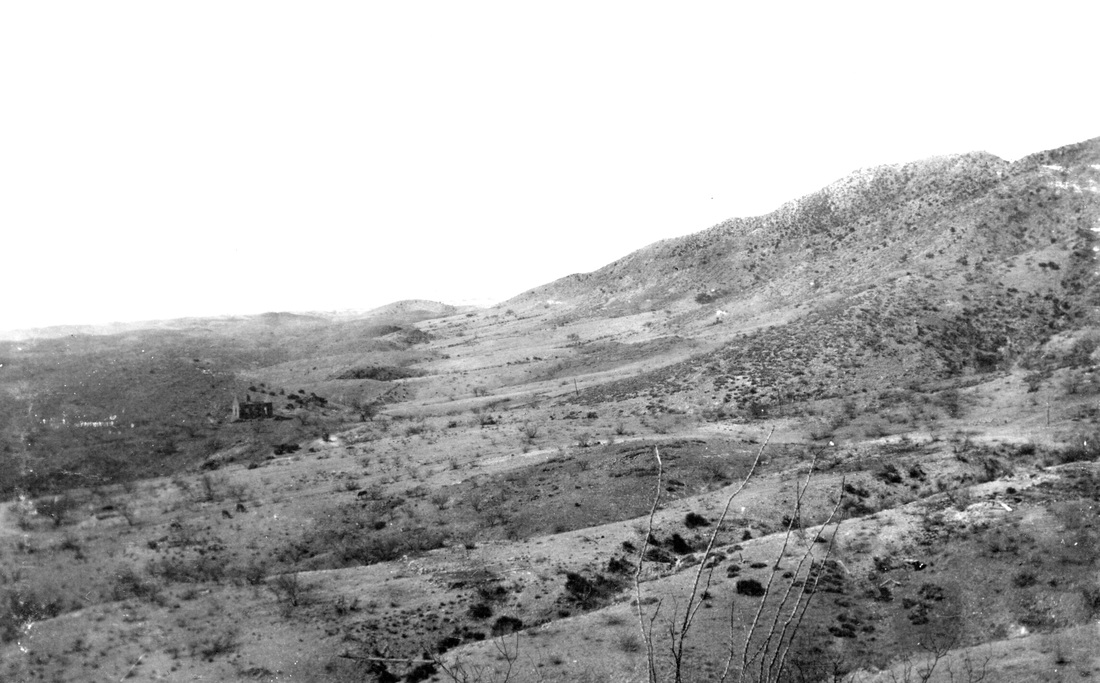
The mill wall, mine, stone cabin ruins and building foundations are all easy to find at the town-site.
'Not long after the mill started we had quit {quite} a number of Mexicans cutting wood on the west side of the Whetstone Mountains. We used wood for fuel at the mill and in the camp. This was in June 1883. Late one afternoon an old Mexican riding a very tired horse, bareback, with just a rope around its nose inplace {in place} of a bridle, rode into camp. He said the Apache Indians had attackd {attacked} their wood camp and were killing their people.
Four or five of us got some guns and went up to the wood camp to investigate. I think Mr Shaw, the foreman of the mine, Mr. Boss, Charles McGary and I, were the investigators. Charley McGary was our trailer, he was a fine cowboy and a very good trailer.
We found the wood camp deserted and no dead men there, but the camp had been raided, and Indian tracks were plainly visible. We followed the tracks of the big wood wagon up the hills to a mesa and found a big trail wagon loaded with wood. From there we followed the tracks of the main wagon into a box canyon and found the body of a man. McGary jumped off his horse and said "keep your eyes open. I will turn him over." The man was dead, shot through the heart. It was nearly dark by that time, and we could not see the trail, so we went back to camp.
Early the next morning, with about thirty men, well armed, we took the trail up to the Whetstone wood camp. We found three more dead men - a short distance from where we found the first man the night before was the body of the Frenchman who was the owner of the team He had evidently just started to load his wagon as there were only a few stick of wood in it, and his body laid back of the tailboard where he had been standing. We also found two more men near there. This was one of Geronemo's {Geronimo's} raids. The Frenchman had a fine team of fourteen American mules; they were never recovered. We brought back the bodies of the victims and buried them near the Total Wreck camp. The little graveyard is under a small group of Mesquite trees about half a mile from the Total Wreck across a gulch, west of the Pantano road. Several men have since been buried there.'
This excerpt by Ed Vail, was from 'The Story of a Mine.' Pages 5, 6. Compiled from documents at The Arizona Historical Society, Tucson, Arizona.
The article above gives you all the information to find the little graveyard. I found four graves in the short period of time I had before leaving. There should be more. If you need more information, for example, GPS coordinates, please use the 'Contact Us' on the Home Page.
The Little Graveyard, Total Wreck Mine
The following three pictures are from the USGS GEOLOGICAL SURVEY PHOTOGRAPHIC LIBRARY.
Use the above link to search the library or click here to go to the pictures below.
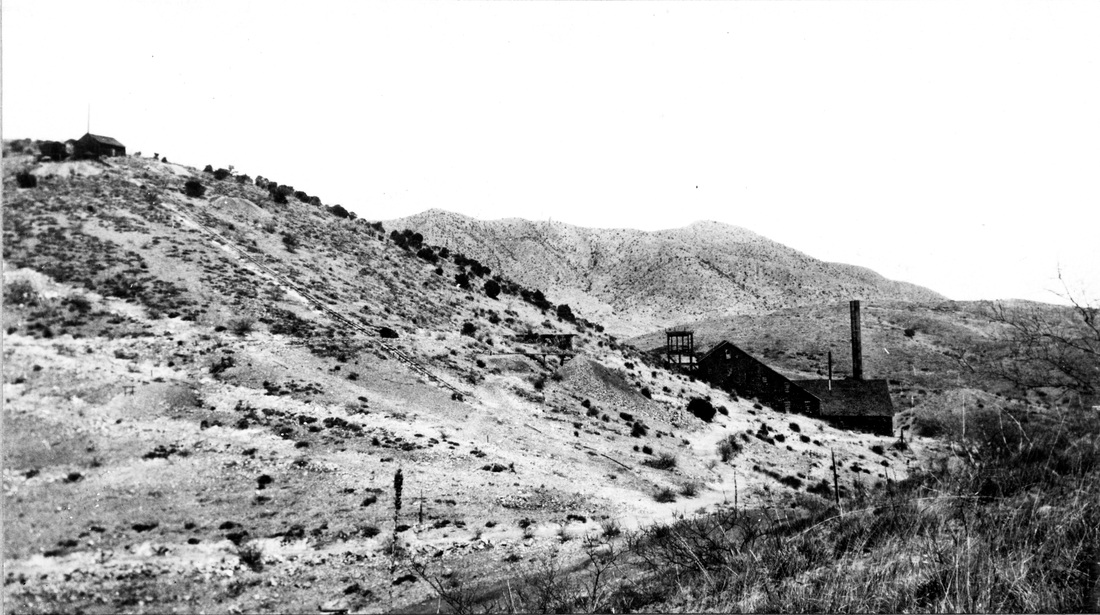
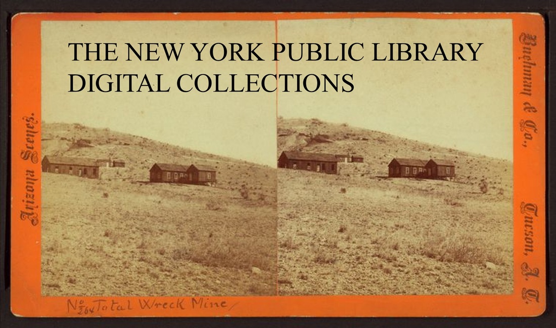
Total Wreck mine and mill, looking west. Pima County, Arizona. 1909. Plate 14-B in U.S. Geological Survey. Bulletin 582. 1915.
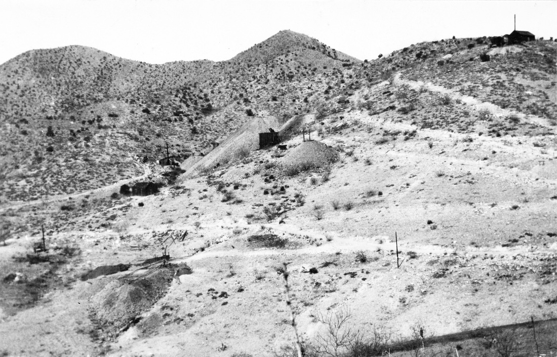
Total Wreck mine and mill, looking west. Pima County, Arizona. 1909. Plate 14-B in U.S. Geological Survey. Bulletin 582. 1915.
Total Wreck mine and mill, looking west. Pima County, Arizona. 1909. Plate 14-B in U.S. Geological Survey. Bulletin 582. 1915.
Pump Site for Total Wreck Mill and Town
 Total Wreck Pump Site on the Cienega Creek
'Meanwhile water was necessary to run the mill which was being built. The nearest water in sufficient quantity was in the Cuniga (Cienega) Creek which rises on the Empire Ranch, but that was too far from the mine.
About a mile east of our camp there were some claims being developed by a company from Oil City, Pennsylvania, and they had bought an acre of land from Don Sanford and built a small store there.
My Uncle, Mr. N. R. Vail, sent me to Oil City, Pa., to see if I could buy that acre of land to locate a pump on. I had just arrived at Oil City when I received a telegram from Mr. Vail telling me that he had bought Sanford's ranch and cattle and to come back to Arizona.
There is a Canyon that runs directly down from Total Wreck Camp to the Cuniga Creek about two miles east. A powerfully geared pump was installed there, and a six inch iron pipe laid to the top of a small hill just east of the camp. Two fifty thousand gallon redwood tanks were built there, and a four inch pipe line ran through the little town to the mill and furnished plenty of water.'
This excerpt by Ed Vail, was from 'The Story of a Mine.' Pages 2,3. Compiled from documents at The Arizona Historical Society, Tucson, Arizona.
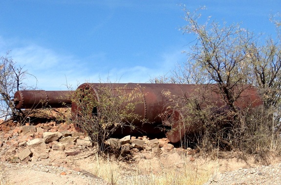
Just to clear things up a little. The above slideshow is of pictures taken at the Pump Site, not of the pump which is long gone. What you do see is the boiler which powered the steam engine (it's gone too). The link below will give anyone who is interested more detail into the workings of these old boilers.
Click for more info
Click for more info
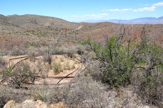
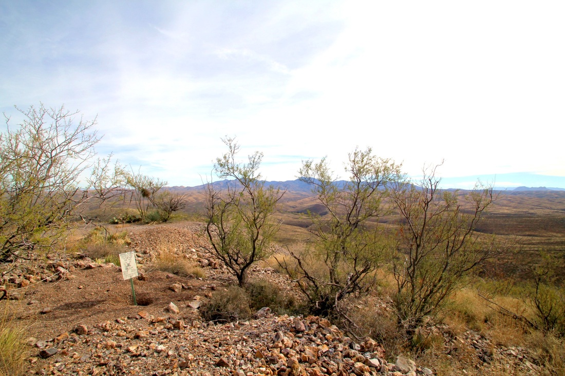
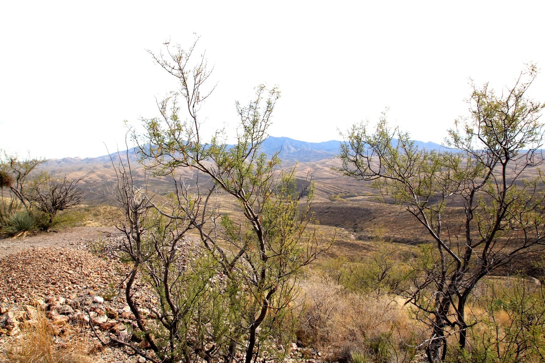
Tank Hill at Total Wreck
'There is a Canyon that runs directly down from Total Wreck Camp to the Cuniga Creek about two miles east. A powerfully geared pump was installed there, and a six inch iron pipe laid to the top of a small hill just east of the camp. Two fifty thousand gallon redwood tanks were built there, and a four inch pipe line ran through the little town to the mill and furnished plenty of water.'
This excerpt by Ed Vail, was from 'The Story of a Mine.' Pages 2,3. Compiled from documents at The Arizona Historical Society, Tucson, Arizona.
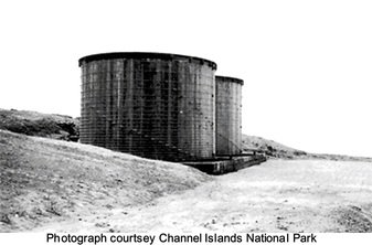
Just to be clear... there are not water tanks still standing at Total Wreck. The picture is of two 50,000 gallon redwood tanks at Channel Islands National Park. These tanks are early 20th century and should give a good idea of the size and construction of those that stood on Tank Hill at Total Wreck Mine. The steel bands and foundation are all that is left at the site, wood seems to be the first thing to be carried away back in the day.
The hill is about 1/3 mile from town and about 1/4 mile from the stone cabin, which is a good starting point for the hike (walk) in. Elevation of Tank Hill is 4,651, town 4,544, and the mill is about 4,584 so over a 60 feet drop into the mill.
It's not the most interesting thing about Total Wreck Mine and Town Site but it's part of the story of getting water to the town and mill, besides it's good excuse to take another great ride out to the old mill and town. GPS Coordinates for the site. N 31 53.425 W 110 35.296
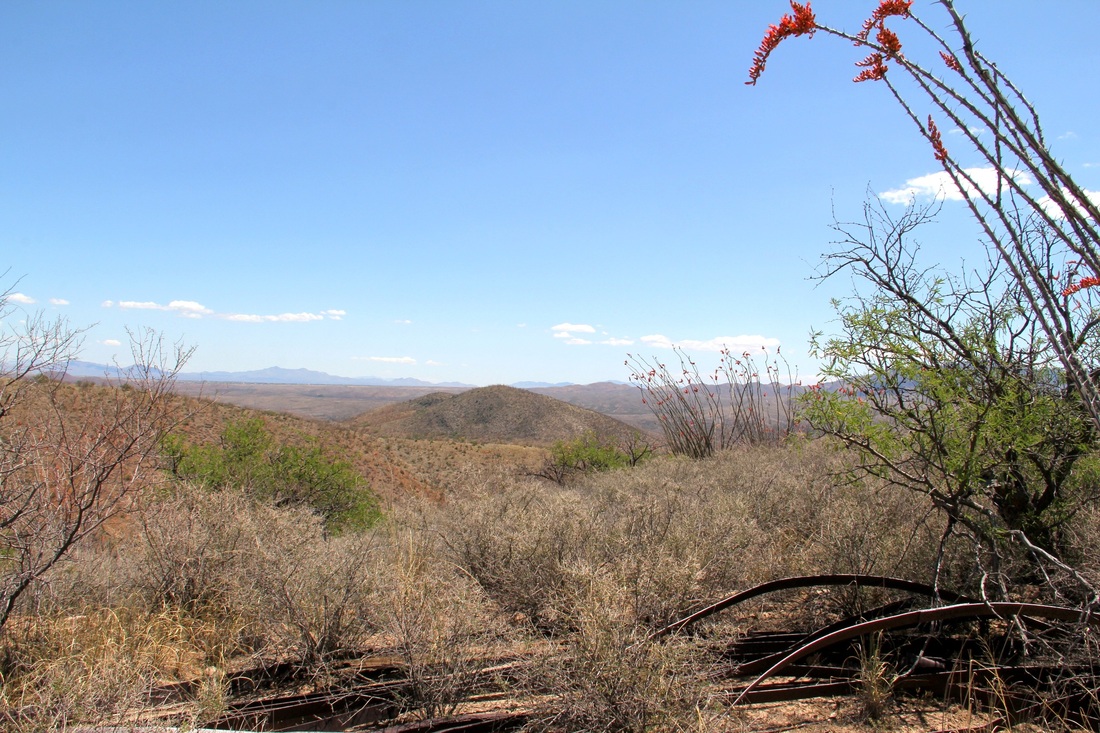
The pictures below were taken standing where the two redwood tanks stood.
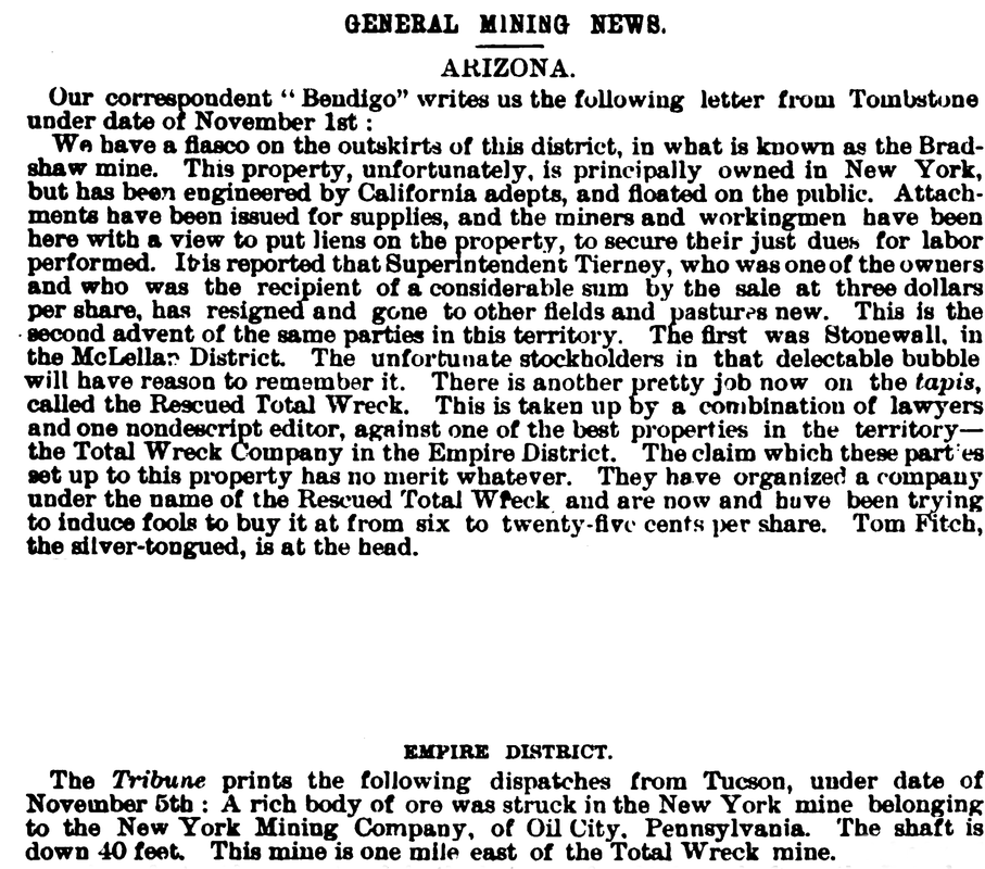
New York Mining Company of Oil City, Pennsylvania
 New York Mining Company, of Oil City, Pa. claims.
"About a mile east of our camp were some claims being developed by a company from Oil City, Pennsylvania, and they had bought an acre of land from Don Sanford and built a small store there.
My uncle, Mr. N. R. Vail, sent me to Oil City, Pa. to see if I could buy that acre of land to locate a pump on. I had just arrived at Oil City when I received a telegram from Mr. Vail telling me that he had bought Sanford's ranch and cattle and to come back to Arizona."
This excerpt by Ed Vail, was from 'The Story of a Mine.' Page 3. Compiled from documents at The Arizona Historical Society, Tucson, Arizona.
Not at all sure why you send someone (Ed Vail) over 2,100 miles to buy that acre of land, and turn around and buy the whole ranch, which now does not include that acre of land before Ed Vail could reach Oil City. May never get that answer but, The Story of a Mine has answered questions about the location of the Pump Site, Tank Hill, the Little Grave Yard, and the New York Mining Company, of Oil City, Pa., claims.
This is a digital copy of a book that was preserved for generations on library shelves before it was carefully scanned by Google as part of a project to make the world’s books discoverable online. It has survived long enough for the copyright to expire and the book to enter the public domain. A public domain book is one that was never subject to copyright or whose legal copyright term has expired. Whether a book is in the public domain may vary country to country. Public domain books are our gateways to the past, representing a wealth of history, culture and knowledge that’s often difficult to discover. Marks, notations and other marginalia present in the original volume will appear in this file - a reminder of this book’s long journey from the publisher to a library and finally to you.
Link http://books.google.com/
From this book I've used just small parts that pertain to the New York Mining Company of Oil City, Pa. and or Total Wreck Mine. There is more information on mining operations all through Arizona along with pictures of mining equipment Etc.
Link http://books.google.com/
From this book I've used just small parts that pertain to the New York Mining Company of Oil City, Pa. and or Total Wreck Mine. There is more information on mining operations all through Arizona along with pictures of mining equipment Etc.
Standing at the New York Mine


GETTING THERE: (Mill and Town) GPS Coordinates
Eastbound on I-10 after mile-marker 288 N 31 59.204 W 110 34.657
there is a service road heading south
Just over a half mile, bear left N 31 58.726 W 110 34.663
.85 miles, bear left, again. N 31 58.100 W 110 34.287
Eight tenths of a mile & turn left N 31 57.426 W 110 34.232
Just over one-half mile and turn left N 31 57.431 W 110 33.797
3.77 miles and turn right N 31 54.918 W 110 33.519
2.15 miles and turn left N 31 54.513 W 110 35.217
Travel .9 miles: N 31 53.813 W 110 35.453
Turn right for mill; Straight for town-site
TOTAL WRECK MINE N 31 53.791 W 110 35.576
Mill Wall N 31 53.870 W 110 35.504
Foundation 1 N 31 53.627 W 110 35.453
Foundation 2 N 31 53.684 W 110 35.461
Foundation 3 N 31 53.678 W 110 35.462
Stone cabin-south N 31 53.555 W 110 35.506
Stone cabin-north N 31 53.640 W 110 35.406
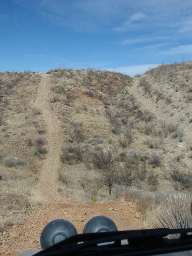
4 x 4 WILL BE NECESSARY FOR THIS DRIVE!
THERE ARE MANY WAYS INTO THE
TOTAL WRECK MINE AND TOWN-SITE. * Reference: 'Arizona Place Names,' by Will C. Barnes
THIS ONE IS VERY SCENIC AND Copyright 1988, The Arizona Board of Regents
DOES NOT CROSS THE CREEK! University of Arizona Press
there is a service road heading south
Just over a half mile, bear left N 31 58.726 W 110 34.663
.85 miles, bear left, again. N 31 58.100 W 110 34.287
Eight tenths of a mile & turn left N 31 57.426 W 110 34.232
Just over one-half mile and turn left N 31 57.431 W 110 33.797
3.77 miles and turn right N 31 54.918 W 110 33.519
2.15 miles and turn left N 31 54.513 W 110 35.217
Travel .9 miles: N 31 53.813 W 110 35.453
Turn right for mill; Straight for town-site
TOTAL WRECK MINE N 31 53.791 W 110 35.576
Mill Wall N 31 53.870 W 110 35.504
Foundation 1 N 31 53.627 W 110 35.453
Foundation 2 N 31 53.684 W 110 35.461
Foundation 3 N 31 53.678 W 110 35.462
Stone cabin-south N 31 53.555 W 110 35.506
Stone cabin-north N 31 53.640 W 110 35.406
4 x 4 WILL BE NECESSARY FOR THIS DRIVE!
THERE ARE MANY WAYS INTO THE
TOTAL WRECK MINE AND TOWN-SITE. * Reference: 'Arizona Place Names,' by Will C. Barnes
THIS ONE IS VERY SCENIC AND Copyright 1988, The Arizona Board of Regents
DOES NOT CROSS THE CREEK! University of Arizona Press