Dinosaur Tracks Near Benson...??????
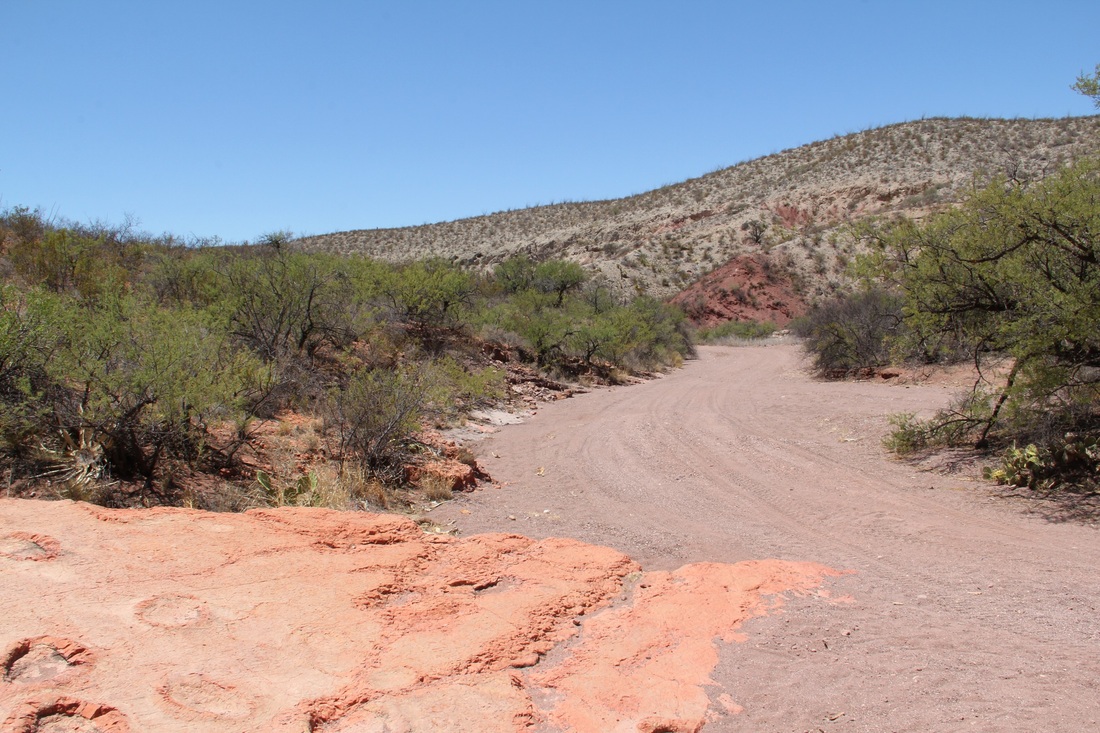
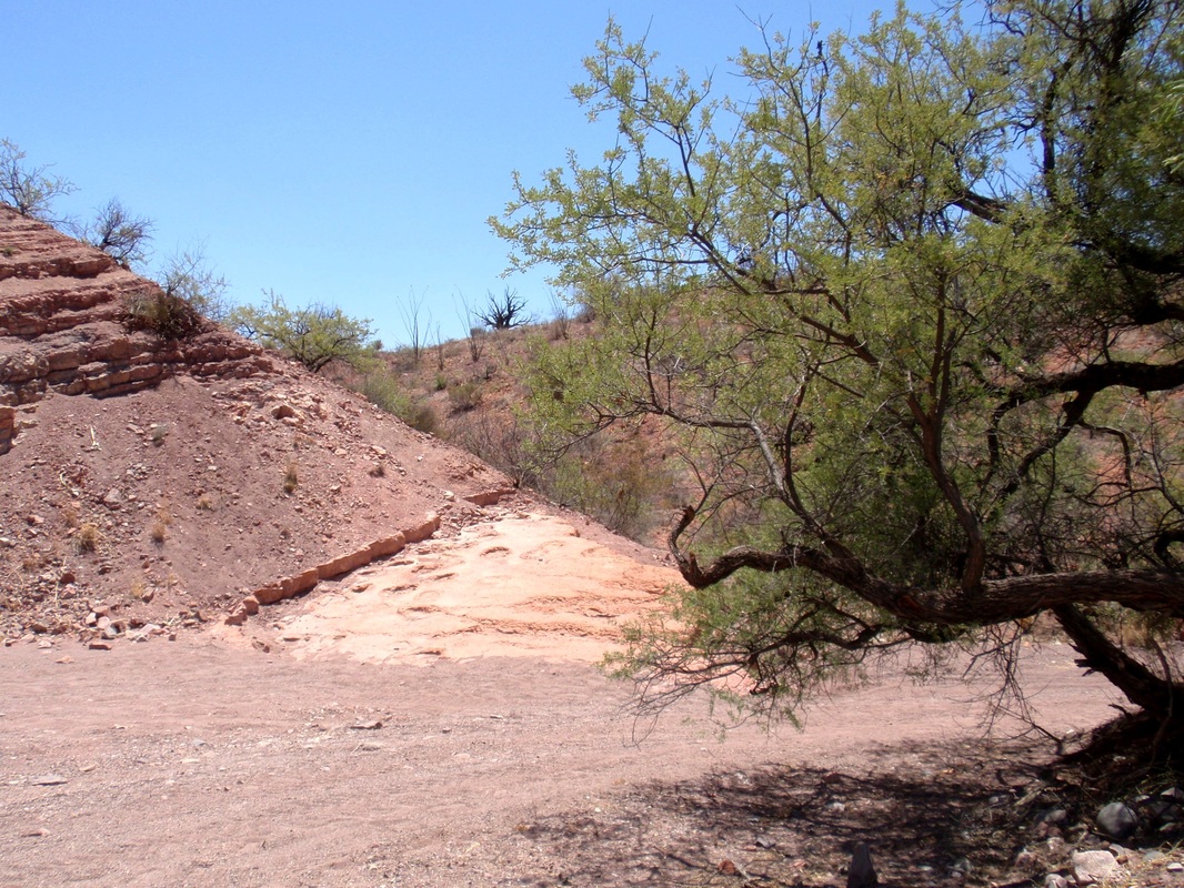
Yep... a little off the subject, but another easy ride with just the usual loose sand of the wash to slow you down or maybe stop those without 4X4. (I did have to use it in a few spots.)
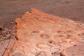
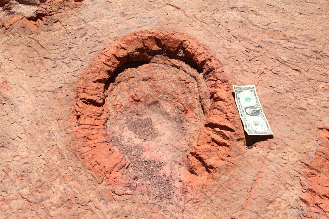
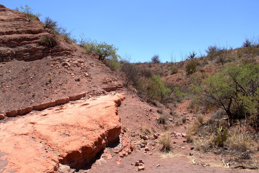
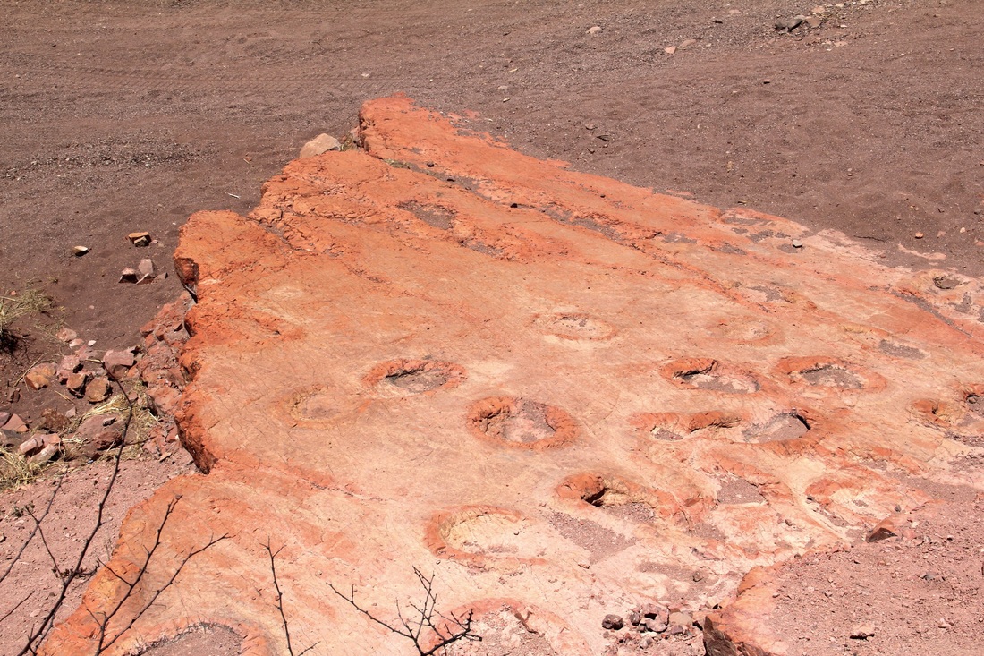
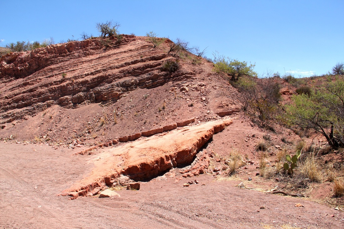
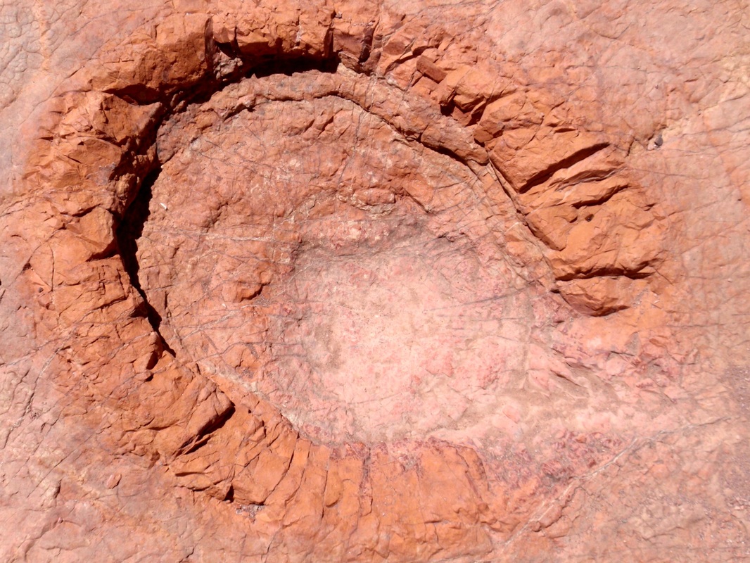
I was recently asked if I ever saw the dinosaur tracks north of Benson, and of course, the answer was no, and are you kidding? "No there really seems to be tracks out there but not sure they're dinosaur prints, go have a look yourself". The site is easy to find and I was out there before realizing I know nothing about dinosaurs or the footprints they left. So I'm NOT saying they are, but it is something to see and the trip is through some great scenery, as always, in this part of Arizona.
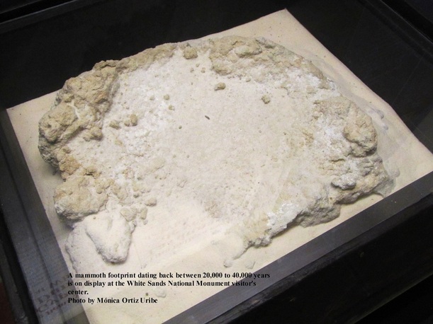
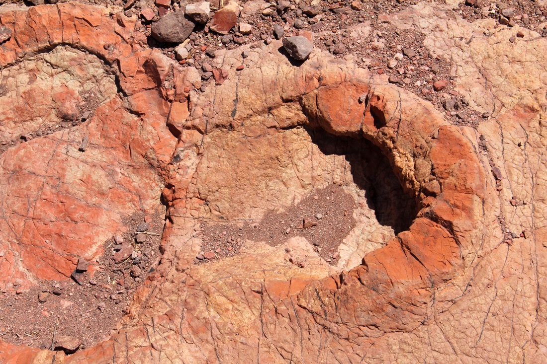
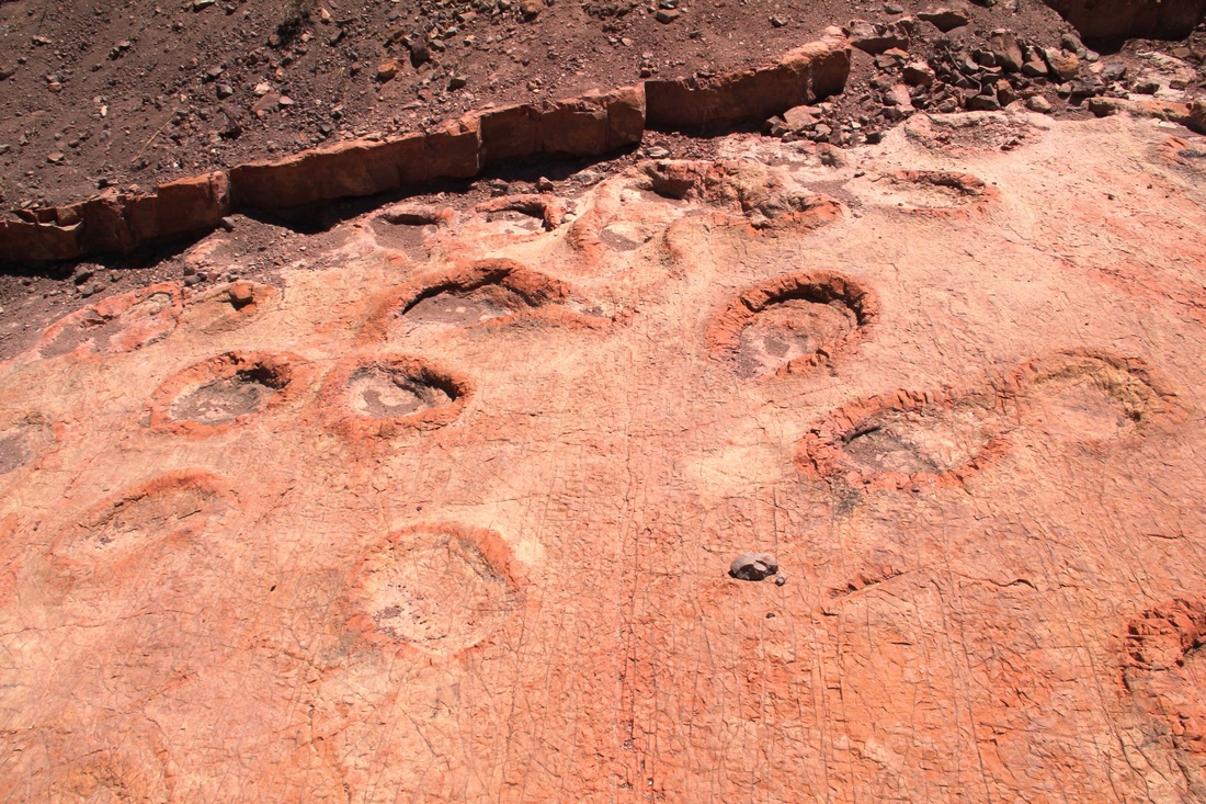
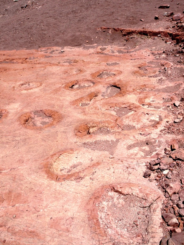
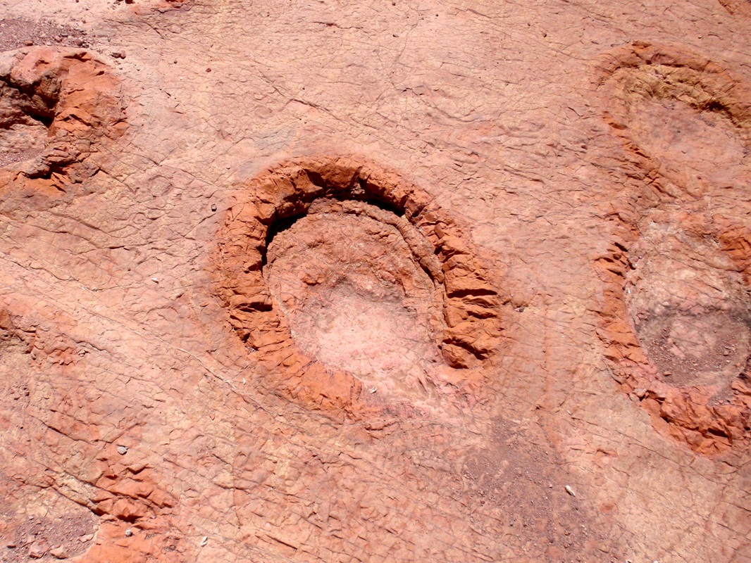
Keeping in mind I said I don't know... and I don't, YET they looked like Mastodon footprints I've seen at other sites where the prints were confirmed.
Here are some pictures and a couple links you can follow to compare the confirmed footprints with the ones north of Benson. GPS coordinates and some directions are below the photo gallery.
Click image to enlarge


GETTING THERE:
Take N. Pomerene Road north at Benson (exit 306 on I 10) N. Pomerene becomes N. Casabel Road. Just past mile post 20 is a wash and a ranch gate just beyond it, this is on the right side and it's the road you're looking for. GPS for the gate N 32 16.042 W 110 20.454. Go through the gate and enter the wash going left. From the gate to the tracks is just over 3 miles. Use your GPS... Site location N 32 17.359 W 110 18.627. One hint is to keep going left at the Y's.
