Massacre Canyon
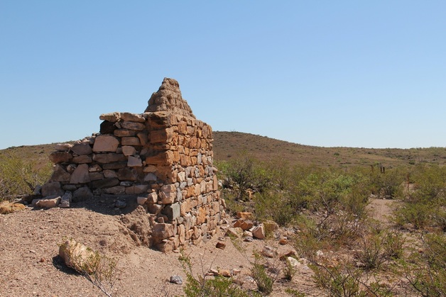
Fort Cummings & Cooke's Spring Station
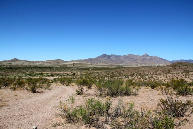
Massacre Canyon
Luna Co., New Mexico
During the Apache Wars, this four miles of the Butterfield Trail in New Mexico was one of the deadliest roads. It is now known as Massacre Canyon.
Exaggerated reports say that hundreds of people lost their lives on this four mile stretch. The road was littered with rotting corpses and burned-out wagons. The dried skeletons were so numerous and unsightly that it was a source of complaint from the Butterfield stage passengers. A few graves can still be seen along the road.
When viewing the slide show, take note of the signs, as there is valuable information about the Fort and the Indian War.
GETTING THERE:
From Deming New Mexico
Interstate 10 to Deming, NM Exit #82A
Go north on Rt. 180 for 1.2 miles.
Right onto Rt. 26 for 14.5 miles
Turn left onto CRA019 at GPS
N 32 24.967 W 107 34.651
After just over 1 mile turn left (west) GPS
N 32 25.723 W 107 35.249
This is the road into Fort Cummings. The Fort Cemetery is about 4.1 miles ahead.
This road to the Fort is passable with any car, (stone/dirt road) but if you plan to drive the road through Massacre Canyon, a 4x4 is going to be a must.
Plan to get there early as there's lots to see.
